

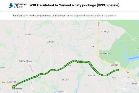
USERS of the A38 in South East Cornwall can now leave feedback about their experiences of the road on a new interactive web page.
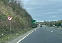
Highways England has launched the map facility on its website as it looks to develop the designs for the safety improvements set to be implemented between 2025-30.
By clicking on points along the map, members of the public can leave their comments about individual sections of the road between Carkeel and Trerulefoot, or alternatively comment on the project in general.
Categories for commenting include air quality and ecology and wildlife, as well as speed, safety, congestion, and others.
To find the map visit https://map.govmetric.com/A38TCSafetyPackage