

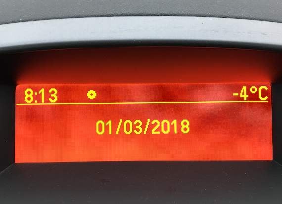
South East Cornwall is bracing itself for heavy snow and blizzards plus the added risk of ice build-up due to freezing rain.
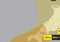
The Met Office has an amber warning in place for the district meaning people should be prepared for severe weather.
The worst of the weather is likely to be between this afternoon and tomorrow morning with spells of heavy snow and strong easterly winds.
Ten to 20 centimetres (four to eight inches) of snow are forecast to fall quite widely with more on higher ground.
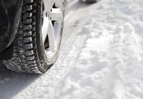

Towards midnight today freezing rain could make driving even more dangerous.
Some roads are likely to be blocked by deep snow, power supplies could be interrupted, and snow and ice could damage trees and manmade structures.
Public transport is likely to be badly affected and rural communities could be cut off because of significant accumulations of snow.
There could also be disruption to telephone and mobile networks.
The mercury is unlikely to rise above freezing today with the temperature actually feeling like minus nine Celcius at some points.
The predicted severe weather is being caused by rain from the near Continent coming into contact with the very cold air, all the way from Siberia, which has been affecting the country for the last few days.
Winds are expected to fall lighter over the weekend but the weather will still feel cold and there will still be a risk of some hill snow and ice.