

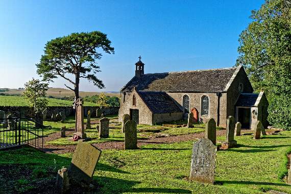
A NEW, free resource providing digital churchyard maps and parish information will be a welcome asset for those carrying out family history research.
Family trees are big business and draw people from all over the world to Cornwall to seek out old records and old graves.
The Burial Grounds Project is being run by the Church of England nationally. It will see every churchyard in the Diocese of Truro digitally mapped, along with the digitization of parish records meaning parishes and public will now be able to view the information freely and easily.
The Bishop of Truro, the Rt. Revd Philip Mounstephen, said: “Having laboriously traced my own family tree in the old Cornwall Council records office many years ago, I know what a valuable resource this digital tool will be for many people researching their own genealogy. It’s also a way of making our churches more ‘porous’ and welcoming to visitors: I’m very much in favour of anything that helps us do that, so I commend this project wholeheartedly.”


The project is free to parishes and all the work will be done by a team from Atlantic Geomatics, the company hired by the Church of England nationally, who will access the churchyard and church so that the mapping and digitizing of the parish records can occur.
These digital records and images will then be integrated with the Church Heritage Record, the national database of the Church of England, which the diocese has access to.
A simplified version of the digital map and images of the records created will be safely and permanently curated and will be freely available for the public to view.
Other more complex functionality, such as managing the map and searching across the national database, will be available on payment of a subscription.