

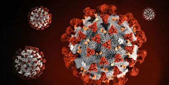
Latest figures from Public Health England for COVID-19 cases in South East Cornwall show one former ‘cluster’ area disappearing from the map, other figures remaining static, and a slight increase in cases in two other areas.

.jpg?width=209&height=140&crop=209:145,smart&quality=75)

A ‘cluster’ is defined as three or more confirmed cases of the virus in an area of 750,000 people.
The cluster area no longer appearing on the South East Cornwall virus cases map for October 5-11 is the area of St Germans and St Mellion.
However, in the cluster area of Lostwithiel and Penwithick the number of COVID-19 cases has risen by two to eight people infected, and in nearby Par the number of cases has risen by one to four people with the virus.
In the area of Kingsand, Antony and Maryfield the number of cases remains the same a six people infected; in the area of Altarnun and Stoke Climsland the situation also remains unchanged at four cases; and the previously reported cluster areas of Dobwalls, Addington and Menheniot, and Saltash Latchbrook and St Stephens both also shown no change at three cases each.