

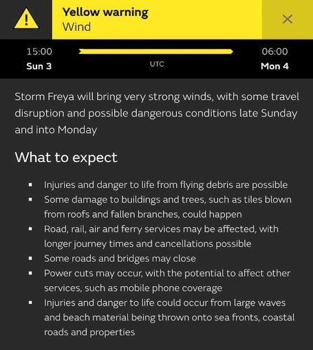
Storm Freya will bring very strong winds, with some travel disruption and possible dangerous conditions late Sunday and into Monday the Met Office has warned.
The yellow weather warning applies to South West England, Wales and large swathes of the Midlands and Northern England.
Freya is the sixth storm to be named by the UK and Republic of Ireland Met Offices in the 2018/19 calendar and the weather warning will one in effect from 3pm on Sunday until 6am on Monday. However, a Met Office spokesman is reported as saying that strong winds will develop in the Westcountry by midday on Sunday and that when the storm proper hits, wind speeds will be highest in Cornwall, Devon, all of Wales and North West England.
The spokesman said the wind speeds are likely to reach 55-65mph, and there may even be isolated gusts of 70-80mph – just days after much of the country was basking in above average February temperatures.



Injuries and danger to life from flying debris are possible; some damage to buildings and trees, such as tiles blown from roofs and fallen branches, could happen.
Road, rail, air and ferry services may be affected, with longer journey times and cancellations possible; some roads and bridges may close; power cuts may occur, with the potential to affect other services, such as mobile phone coverage and injuries and danger to life could occur from large waves and beach material being thrown onto sea fronts, coastal roads and properties.
For anyone due to head to the north of the country early next week, the Met Office is predicting that the storm will be followed on Monday by falls of snow in North East England and South East Scotland as temperatures across the country continue to fall to half what they were earlier this week.
Comments
This article has no comments yet. Be the first to leave a comment.